|
|
|
|
||||
California
Transit > San Jose >
Light Rail
|
 |
|
Guadalupe Corridor |
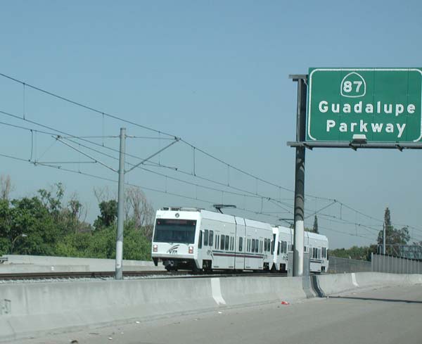
This section of the line is mostly in a highway median. south of downtown San Jose. Most of it in the middle of Highway 87/Guadalupe Pkwy. Then it heads east in another freeway before turning of the freeway to the end of the line at Santa Teresa.
Click on any image to enlarge.
| Northbound
train in the median of the freeway the line is named after, which is named
after a river along side the freeway. (5/19/04) |
Back to Top Last Updated: 07/25/19 |
|
Home Page |
Transit Photos |
Railroad Photos |
Rail Museums |
Tokens/Farecards |
| Kavanagh Family | Airliner Photos | Site Updates | About Us | Contact Us | |